
-
About
History-Tradition
Geographic & Economic
Miscellaneous
-
Administration
Deputy Commissioner
DC Office
DDLG/ADC
Officers and Staffs
About Sections
Important information
Information and Communication Technology
Report
-
Govt. Offices
Security & Discipline Affairs
Education & Culture
Agriculture & Food
-
■ Department of Agricultural Extension
-
■ District Food Controller\'s Office
-
■ District Fisheries Office
-
■ District Livestock Office
-
■ Department of Jute
-
■ BADC (Seed)
-
■ Department of Environment
-
■ Department of Agricultural Marketing
-
■ Bangladesh Food Safety Authority
-
■ Soil Resource Development Institute
-
■ Agriculture Training Institute
Health
Engineering
Communication & Engineering
Human Resources
-
■ Dept. of social services
-
Urban Community Development Office, Brahmanbaria
-
■ Dept. of Youth Development
-
■ District Women Affairs Officer\'s Office
-
■ BRDB
-
■ District Co-operative Office
-
■ Employments and Human Resources
-
■ Islamic Foundation
-
■ Jatyo Mohila Sangstha
-
■ Brahmanbaria Technical Training Center
-
■ Hospital Social Services Office, Brahmanbaria
-
■ Temple-based Children and Public Education Office
-
■ Department of Inspection for Factories and Establishments, Office of the Deputy Inspector General, Brahmanbaria
-
■ Youth Training Center, DYD, Brahmanbaria
Other offices
-
■ Tax Commissioner\'s Office
-
■ District Registrar\'s Office
-
■ Tariffs and excavators
-
■ District Savings Office
-
■ District Election Office
-
■ Passport Office
-
■ Brahmanbaria Palli Bidyut Samity
-
■ Consumer\'s Rights Protection
-
■ DDO, District Statistics Office, Brahmanbaria
-
■ sarkari shishu poribar (girls)
-
■ Forest Division
-
■ Department of Agricultural Extension
-
Local Govt.
District Council
Municipality
Upazila Council
Union Council
-
Other Institutions
Educational Institutions
-
■ University
-
■ Colleges
-
■ Colleges (PDF)
-
■ Secondary school
-
■ মাধ্যমিক বিদ্যালয়ের তালিকা(পিডিএফ)
-
■ Lower Secondary School
-
■ Junior Secondary Schools (PDF)
-
■ Primary school
-
■ প্রথমিক বিদ্যালয়ের তালিকা(পিডিএফ)
-
■ Madrasa
-
■ Madrasas (PDF)
-
■ Technical Schools
-
■ Technical Schools (PDF)
-
■ All educational institutions
-
■ All educational institutions (PDF)
Organizations
Non-Gov. Organizations
Religious Institutions
-
■ University
-
e-Services
e-Services
National E-service
Mobile App
- Acquisition of land
- Gallary
-
About
History-Tradition
Geographic & Economic
Miscellaneous
-
Administration
Deputy Commissioner
DC Office
DDLG/ADC
Officers and Staffs
About Sections
Important information
Information and Communication Technology
Report
Policy
-
Govt. Offices
Security & Discipline Affairs
Education & Culture
Agriculture & Food
- ■ Department of Agricultural Extension
- ■ District Food Controller\'s Office
- ■ District Fisheries Office
- ■ District Livestock Office
- ■ Department of Jute
- ■ BADC (Seed)
- ■ Department of Environment
- ■ Department of Agricultural Marketing
- ■ Bangladesh Food Safety Authority
- ■ Soil Resource Development Institute
- ■ Agriculture Training Institute
Health
Engineering
Communication & Engineering
Human Resources
- ■ Dept. of social services
- Urban Community Development Office, Brahmanbaria
- ■ Dept. of Youth Development
- ■ District Women Affairs Officer\'s Office
- ■ BRDB
- ■ District Co-operative Office
- ■ Employments and Human Resources
- ■ Islamic Foundation
- ■ Jatyo Mohila Sangstha
- ■ Brahmanbaria Technical Training Center
- ■ Hospital Social Services Office, Brahmanbaria
- ■ Temple-based Children and Public Education Office
- ■ Department of Inspection for Factories and Establishments, Office of the Deputy Inspector General, Brahmanbaria
- ■ Youth Training Center, DYD, Brahmanbaria
Other offices
- ■ Tax Commissioner\'s Office
- ■ District Registrar\'s Office
- ■ Tariffs and excavators
- ■ District Savings Office
- ■ District Election Office
- ■ Passport Office
- ■ Brahmanbaria Palli Bidyut Samity
- ■ Consumer\'s Rights Protection
- ■ DDO, District Statistics Office, Brahmanbaria
- ■ sarkari shishu poribar (girls)
- ■ Forest Division
-
Local Govt.
District Council
Municipality
Upazila Council
Union Council
-
Other Institutions
Educational Institutions
- ■ University
- ■ Colleges
- ■ Colleges (PDF)
- ■ Secondary school
- ■ মাধ্যমিক বিদ্যালয়ের তালিকা(পিডিএফ)
- ■ Lower Secondary School
- ■ Junior Secondary Schools (PDF)
- ■ Primary school
- ■ প্রথমিক বিদ্যালয়ের তালিকা(পিডিএফ)
- ■ Madrasa
- ■ Madrasas (PDF)
- ■ Technical Schools
- ■ Technical Schools (PDF)
- ■ All educational institutions
- ■ All educational institutions (PDF)
Organizations
Non-Gov. Organizations
Religious Institutions
-
e-Services
e-Services
National E-service
Mobile App
-
Acquisition of land
Acquisition of land
-
Gallary
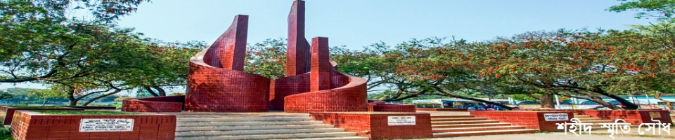
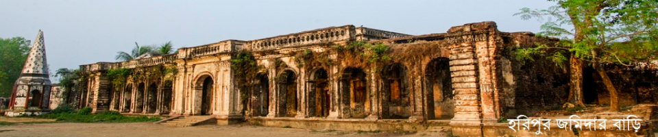
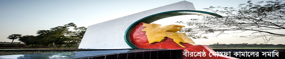
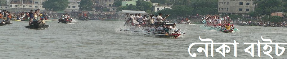
Photo-Gallary
Video-Gallary
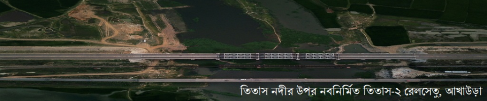
Geographical Identity:
Geographical location of Brahmanbaria on the eastern border of Bangladesh. Most of the areas of Brahmanbaria under the river Kalidah Sayar's sediments and sand deposited in the Meghna basin. But there are some high ground patterns in the North East. Lalmatis of hill bear evidence of original landplaces and populations. However, most of the areas of south-eastern Brahmanbaria are still flooded with rainwater. Meghna, Titas, Salda, Howrah, Buri and Lohur rivers still flourish in Bishkarke. It is believed that from ancient times Sarai, Harshpur, Sultanpur, Kasba and Nabinagar's canyons were suitable for buses. There have been extensive geographical evolution over time. But the whole picture of the situation in the region was not initially imagined. The origins of the Samattara kingdom were thought to have been formed in the place of the peak of the Meghna on the edge of Tripura's mountainous land.
Location: India's Tripura state before Brahmanbaria. Comilla district on the south, Narsingdi and Kishoreganj districts on the west and Habiganj district of Sylhet on the north. Location: 90 ° 39 'to 91 ° 21' East longitude and 23 ° 29 'to 24 ° 16' North latitude.


Planning and Implementation: Cabinet Division, A2I, BCC, DoICT and BASIS
Technical Assistance:
![]()
Developed By:
